

Summary of Contents for DRIVE 53 LIVE TRAFFIC
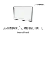
Page 1: ...GARMINDRIVE 53ANDLIVETRAFFIC Owner sManual ...
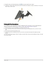
Page 6: ......
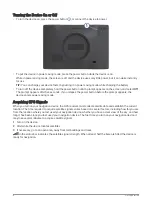
Page 45: ......
Page 46: ...support garmin com GUID 08757AAA 5C65 4404 AEC2 B375F8BAB199 v2 April 2023 ...
The Garmin DRIVE 53 LIVE TRAFFIC is a cutting-edge navigation device that ensures you never get stuck in traffic again. Enhance your driving experience with real-time traffic updates and advanced features. Get the most out of your device by downloading the free owner's manual from 88.208.23.73:8080 - your ultimate destination for hassle-free manual downloads.
Page 1: ...GARMINDRIVE 53ANDLIVETRAFFIC Owner sManual ...
Page 6: ......
Page 45: ......
Page 46: ...support garmin com GUID 08757AAA 5C65 4404 AEC2 B375F8BAB199 v2 April 2023 ...