owner’s
manual
and
reference
guide
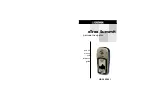
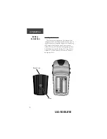
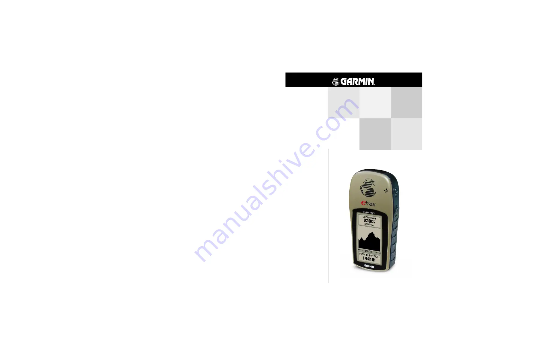
eTrex Summit
personal navigator
© 2000 GARMIN Corporation
GARMIN International, Inc.
1200 East 151
st
Street, Olathe, Kansas 66062, U.S.A.
GARMIN (Europe) Ltd.
Unit 5, The Quadrangle, Abbey Park Industrial Estate, Romsey, SO51 9AQ, U.K.
GARMIN (Asia) Corporation
No. 68, Jangshu 2
nd
Road., Shijr, Taipei County, Taiwan
www.garmin.com
Part Number 190-00193-00 Rev. B
UA-1005.001