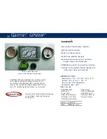
Garmin
GPSMAP
®
56
- Menu-driven touchscreen interface
- High resolution display
- Panel or bracket mount
- World wide satellite imagery
- Preloaded US marine charts including
Alaska, Hawaii and Bahamas
- NMEA2000 support for engine monitoring
- Connect to the Garmin Marine Network to
add sonar, radar and weather
®
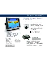
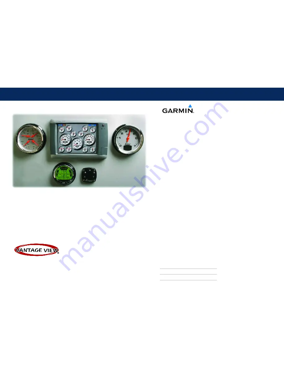
Garmin panel mounted
shown with Vantage View gauges
GPSMAP® 5208 and GPSMAP® 5212 easily connects
to the high-speed Garmin Marine Network, so you
can interface with additional MFDs and add remote
sensors. You can also add high-powered radar, sonar,
and XM™ satellite weather and radio to your system.
- Dimensions: 10.1” W x 6.8” H x 4.2” D
- Overall: 10 3/4” W x 7 1/4” H
- Screen size: 8.4” diagonally
- Resolution 640 x 480
GPSMAP
®
5208
What you get
- GPSMAP® 5208
- Flush mount
- Bail mount
- GPS 17x NMEA2000
- Power cable
- NMEA0183 cable
- Video cable assembly
- Marine grommet kit
- Protective front cover
- Owner's manual
- Installation instructions
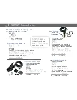
Display
010-00593-01
bezel
GP color
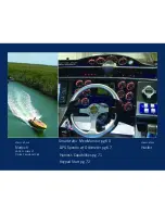
Mix and Match with Vantage View gauges
to see Alarms, Faults and Warnings.
See page 55


