Lowrance 12 TS, Operator'S Manual
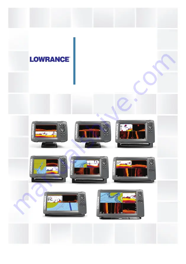
The Lowrance 12 TS is a premium fish finder equipped with advanced features for avid anglers. Ensure you get the most out of your device by referring to the Operator's Manual, available for free download from 88.208.23.73:8080. Access the manual to learn all about the features and functionalities of this top-of-the-line product.
Share
Download


Reviews:
No comments