Pub. 988-0151-291
www.lowrance.com
This GPS model is available as a simulator download from this CD or
from the Lowrance web site. To download from the CD select
,
follow the prompts and it will be added to your Start and All programs
list.
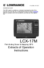
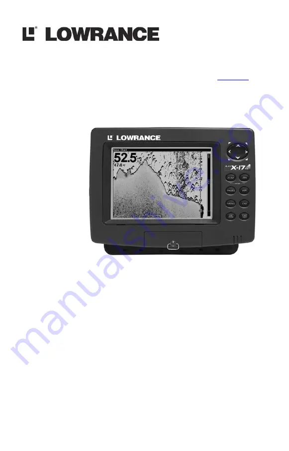
LCX-17M
Fish-finding Sonar & Mapping GPS
Extracts of Operation
Instructions
Summary of Contents for LCX-17M
Page 54: ...94 Notes...
Page 58: ...98 Notes...