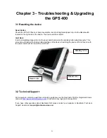
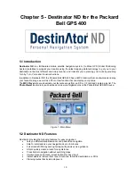
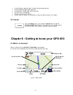
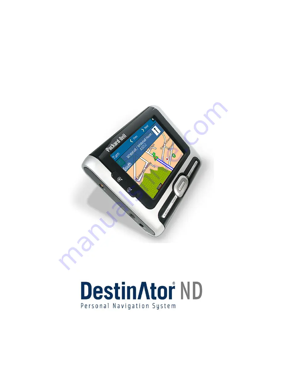
Packard Bell GPS 400, User Manual
Introducing the Packard Bell GPS 400 - your ultimate navigation companion. Never lose your way again with this feature-packed GPS device. To get started, simply download the free User Manual from our website, providing you with detailed instructions on how to optimize your GPS experience. Get yours today!
Share
Download
Reviews:
No comments
Related manuals for GPS 400
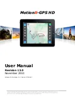
GPS HD
Brand: MotionX Pages: 32

Halo Qube 2
Brand: Navman Pages: 16

PET FINDER
Brand: PAJ GPS Pages: 64

GPS 35 LP
Brand: Garmin Pages: 41

eXplorist 510
Brand: Magellan Pages: 51

GPS 95 AVD Personal Navigator
Brand: Garmin Pages: 123

E120W
Brand: Raymarine Pages: 24

GT08L
Brand: ANBTEK Pages: 10

CT2000
Brand: ANBTEK Pages: 19
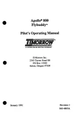
Apollo 800
Brand: II Morrow Inc. Pages: 172

Minerva 3107
Brand: Inventec Pages: 26

SmartTie
Brand: It’s Mine Technology Pages: 4

30
Brand: Optimus Pages: 40

GoFindR
Brand: GoFind Pages: 9

FM1100
Brand: Teltonika Pages: 82

9940495
Brand: Polaris Pages: 48

Qollector
Brand: Quarq Pages: 2

tw700
Brand: Takwak Pages: 108


