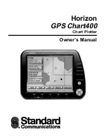
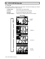
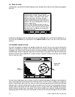
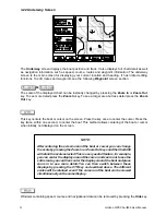
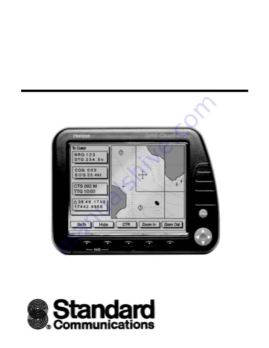
Standard Communications GPS Chart400, Owner'S Manual
The Standard Communications GPS Chart400 is a high-performance navigation device, equipped with advanced GPS technology. Ensure seamless operation with the comprehensive Owner's Manual, available for free download at 88.208.23.73:8080. This manual provides detailed instructions and troubleshooting tips to optimize your experience with the GPS Chart400.
Share
Download
Reviews:
No comments
Related manuals for GPS Chart400
190-01219-90
Brand: Garmin Pages: 48

GeoVision 5500
Brand: Prestigio Pages: 24

CP33
Brand: Simrad Pages: 154
DRIVE 53 LIVE TRAFFIC
Brand: Garmin Pages: 46

ST4345
Brand: SunTech Pages: 30
GXR-GPS
Brand: GeoSIG Pages: 12
GO6
Brand: Geotab Pages: 96

CelloTrack T
Brand: Cellocator Pages: 20
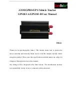
GPS103-A
Brand: Coban Pages: 19
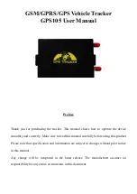
GPS105
Brand: Coban Pages: 24

Watch
Brand: soloprotect Pages: 9

GH-3100
Brand: L3 Communications Pages: 36

REB-1315S5
Brand: RoyalTek Pages: 17

RCD-1100
Brand: RoyalTek Pages: 22

REB-1315LP
Brand: RoyalTek Pages: 24

RDR-3100
Brand: RoyalTek Pages: 27

MBT-1100
Brand: RoyalTek Pages: 24

MEB-1000
Brand: RoyalTek Pages: 25


