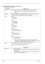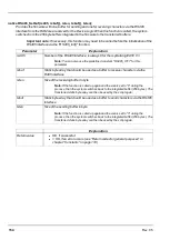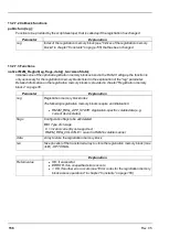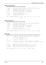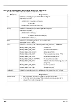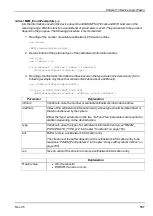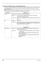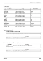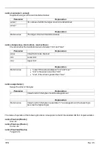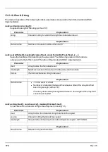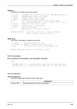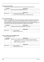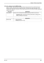
native rM2M_GetPos(&Lat, &Long, &Elev, &Qual=0, &SatUsed=0);
Reads out the GPS position information saved to the device
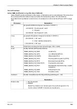
Parameter
Explanation
Lat
Variable to store the geographical latitude in degrees
(resolution: 0.000001°)
-90 000 000 = South pole 90° south
0 = Equator
+90 000 000 = North pole 90° north
Long
Variable to store the geographical longitude in degrees
(resolution: 0.000001°)
-180 000 000 = 180° west
0 = Zero meridian (Greenwich)
+180 000 000 = 180° east
Elev
Variable to store the height above sea level in metres
(valid range: -999...+9999)
Qual
Variable to store the quality indicator (GPS quality indicator) – OPTIONAL
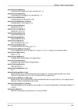
RM2M_NMEA_FIX_NOK:
invalid/no fix
RM2M_NMEA_FIX_GPS:
non-differential GPS fix
RM2M_NMEA_FIX_DGPS:
differential GPS fix
RM2M_NMEA_FIX_PPS:
Precise positioning service (PPS)
RM2M_NMEA_FIX_RTK:
Real time kinematic (RTK)
RM2M_NMEA_FIX_FLOATRTK:
Float real time kinematic
RM2M_NMEA_FIX_EST:
Estimated fix (dead reckoning, coupled
navigation)
RM2M_NMEA_FIX_MAN:
Manual input mode
RM2M_NMEA_FIX_SIM:
Simulation mode
SatUsed
Variable to store the number of satellites used for positioning – OPTIONAL
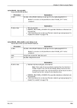
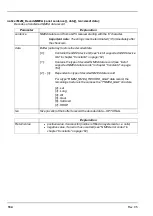
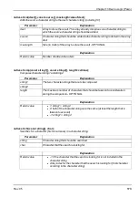
Explanation
Return value
l
OK if valid GPS position information is stored in the device
l
< OK, if an error occurs (see "Return codes for general purposes" in
chapter "Constants" on page 118)
166
Rev. 05
Summary of Contents for myDatalogEASY V3
Page 2: ......
Page 13: ...Chapter 2 Declaration of conformity Chapter 2 Declaration of conformity Rev 05 13 ...
Page 14: ......
Page 42: ......
Page 76: ......
Page 88: ......
Page 102: ......
Page 110: ......
Page 116: ......
Page 234: ......
Page 244: ......
Page 252: ......
Page 254: ......
Page 266: ......
Page 276: ......

